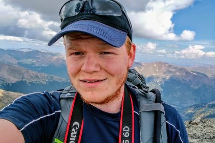
Camped just off the road below Kite Lake, I arrived the night before to acclimate and beat the crowd. I woke up and left at 6 after eating to head up into the valley. There were plenty of people on the slopes and doing the trail… Just a line of people (one right after another) up Democrat.
From Kite Lake Trailhead, the class 2 hike is about four miles with 2,150 ft of elevation gain. Parking at the trailhead is not free, and good luck finding a spot just off the road headed up to the trailhead. Follow the trail north up to the saddle in between Cameron and Democrat. Turn west and hike up the scrabble. Try not to lose the trail. There was one point everyone just continued up different routes.
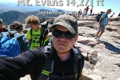
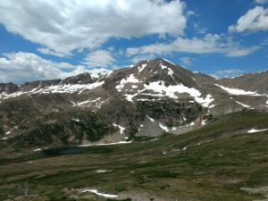
After Democrat, I moved down and up Cameron before hitting Lincoln then over to Bross. Cameron levels out towards the top then one only has to go a short distance to hit Lincoln. Cameron is geographically located in a plateau triangle between Democrat, Lincoln, and Bross. Cameron, although above 14,000ft, is not considered one of the official 14ers. This is because it does not meet the criteria for dropping the required 300 ft from its next closest mountain. Whether one considers it a mountain or not, after climbing up Democrat it sure feels like it is.
 Beware that the whole area is riddled with different mining claims (multiple owners) and over the years the state along with the city of Alma have been working to resolve a way to allow legal access to hikers. In 2012, it was announced that the decalibron loop from Kite Lake is the only access to Democrat and Lincon. Stay on the trail!
The ground is riddled with partially collapsing mining prospect holes, shafts, and tunnels (stopes) that run underground. Some of these hazards are located only inches from the surface and pose a danger to anyone crossing over them, particularly in loose or unstable surfaces.
The Cameron to Bross saddle is easy and isn’t too steep. There is a junction where the trail to the right is closed for restoration and left will take you to the summit. It was here I saw a Jeep on its way up the trail without much problem.
On the descent, this was by far the worst experience and I have a feeling it will be the worst for time to come. I dropped the gully down the ridge, where there is a clear trail, but full of small loose rock on a steep descent. Prepare to slide a lot, but be careful. Only about a fifth of the way down I was beginning to regret this way down the mountain.
After making it back to the truck at 2:30, with clear skies and only blowing wind, and that dreaded way down, this trip was a success! All four peaks summited.
[btn text=”View Gallery” tcolor=#FFF thovercolor=#FFF link=”https://michaelmangin.com/portfolio/the-decalibron-loop/” target=”_self”]